Equipment
All you need to run a course is a smartphone with the MapRun6 app, or a Garmin Watch with the MapRunG app. For more details, see our guide to getting started.
The course
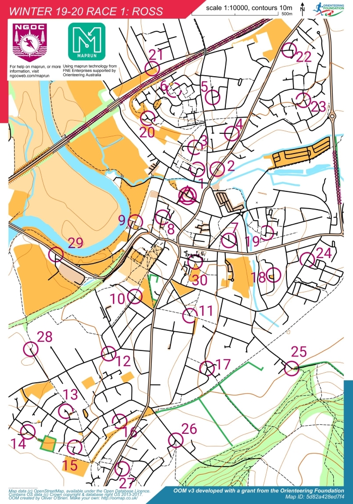
The course consists of:
- A start and a finish, usually in the same location.
- 30 checkpoints:
- checkpoints 1-10, worth 10 points.
- checkpoints 11-20, worth 20 points.
- checkpoints 21-30, worth 30 points.
The clock starts ticking when you run through the start. You then have 60 minutes to run through as many checkpoints as you can (in any order), before running through the finish to stop the clock.
If you don't make it back within the time, there's a penalty of 10 points per minute late.
Note: There's nothing marked on the ground to denote each checkpoint! They're triggered by your GPS location (the app will bleep when it detects you're in the right place.)
The map
The map aims to highlight roads, paths and public open areas, so that you can easily identify valid routes.
- Roads: most roads are denoted by a solid black line; major roads by a thick pale brown line.
- Paths and tracks: denoted by a dashed black line.
- Open spaces: are denoted in yellow. You can run across these.
- Vegetation: hedges are denoted by a dark green line; wooded areas appear light green.
- Water: is in blue, and is usually not passable unless a path/road crosses it.
- Out of bounds: certain areas that are dangerous or private are marked in purple.
The start (triangle), finish (double circle) and checkpoints (numbered circles) are marked on the map in purple.
Example map

