Cheltenham Centre
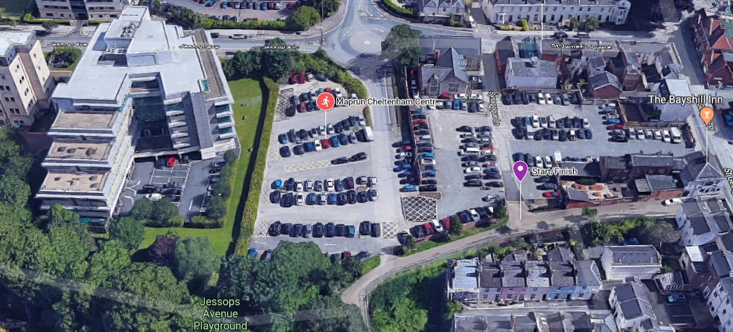
The Central Cheltenhm maprun course starts and finishes on the edge of the Chelt Walk car park, which is a couple of minutes walk from the bus station on the edge of the central shopping area, and also a short walk from Waitrose, where you can park if you dont want to pay and display in the Chelt Walk car park. Unfortunately there is almost no free parking in central Cheltenham.
[bg_collapse view=”button-green” color=”#ffffff” icon=”arrow” expand_text=”Directions” collapse_text=” “]
Click on the running man on the map below, and then the![]() icon to get directions to the course.
icon to get directions to the course.
[/bg_collapse]
[bg_collapse view=”button-green” color=”#ffffff” icon=”arrow” expand_text=”Start and Finish” collapse_text=” ” ]
The Start and Finish are at the path junction nearer the town centre – the left hand one as you stand in the car park facing away from the entrance – at the bottom of Synagogue Lane. Make sure you run through this point to start your route, and again back through it to stop the clock on your run.
[/bg_collapse]
[bg_collapse view=”button-green” color=”#ffffff” icon=”arrow” expand_text=”Course Details and Map” collapse_text=” “]
View the course details and map below. These are all designed to be printed so you have the information to hand as you get on site, but the only thing you need to run the course is the map (and a phone!). We recommend you run with the course map and details sheet together back to back in a plastic wallet to keep them dry!
View or print the course map
View or print the location details
View or print checkpoint descriptions and getting started information
[/bg_collapse]